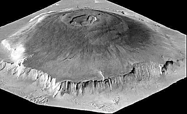
The height of the mountains is amazing. But how do you know how high you managed to climb? How do you manage to measure the height of the mountains? After all, people managed to measure even Everest, having received an indicator of 8848 meters above sea level.
How are such measurements carried out, what tools help people get accurate results when it comes to sky-high heights? Perhaps every curious person would like to know about this.
How did you measure the mountains before?

Considering the exact methods for measuring heights on the ground, it should be noted that topographic surveying was used to solve this problem. This method allows you to get the exact coordinates, dimensions and shape of any piece of land, including elevations. There are several options for conducting geodetic studies, but they all come down to triangulation, that is, to the method of trigonometric surveying.
Recalling the basics of geometry, we can give a theorem according to which, if there is information about one of the sides of a triangular object and its two angles, the remaining two sides can be calculated. The scale of the measurement object does not play a role in this, the triangle can be either small or multi-kilometer.
To use this theorem, it is necessary to take accurate measurements to obtain initial information. Two landmarks are taken, a mechanical measurement is made. So it is possible to get the side of the triangle. Next, select another conditional landmark at the top.Imaginary lines are drawn from the top, it is possible to get an angle. It remains only to use the theorem.
Angles are measured with theodolite, the device is intended just for this purpose. Having received the coordinates of the first triangle, it is possible to obtain the subsequent ones, dividing the necessary area into these figures until the total area is found.
Interesting fact: theodolite measures both horizontal and vertical surfaces.

Leveling is another proven method for measuring space, within which the spirit level at the base of the theodolite is used - it allows you to bring everything to the same level, indicating the moment of alignment. Using the sight - an optical device, and raising it to the desired landmark located on the mountain, you can finally get a height indicator.
Modern technology and accurate results

Amateur tourists and climbers who are not associated with geological surveys do not carry all this equipment with them. Modern technology has allowed a person to have a minimum with him - GPS navigation can be installed on a regular smartphone. There are also more reliable and accurate autonomous GPS devices that allow you not to get lost, always know who and where is on the ground. They work vertically and horizontally, can show height. The latter is important for climbers, lovers of parachuting.
The instrument displays altitude. The indicator can be obtained due to satellite serifs from objects with known heights in advance.Devices can give greater or lesser accuracy, since there are a significant number of parameters that play a role in the accuracy of determination. Users note that the error happens, and in some cases it can reach 10-20 meters.
The approximate height of the instrument can be determined by obtaining rectangular coordinates based on geocentric, this is an approximate indicator.
When receiving information from satellites, the device must be connected to at least four of them in order to obtain the necessary information and provide the most accurate information. The more satellites around, the better, redundancy is needed to get accurate data. Ideally, these are 8 satellites. When communicating with less than four, the device may refuse to provide data at all.

Advanced devices, such as radio modems or professional-style GPS stations, can give an accuracy of a centimeter. With their help, it is possible to make the most accurate measurements. Amateur devices give a large error, but also allow you to get acceptable data.
Today, mountains are measured using such devices. Periodically making new measurements, experts note that the indicators may change. This is not always due to inaccuracy of devices. Mountains can grow or shrink. This is not a quick process, but over time, changes become apparent. Old mountains are destroyed due to the process of erosion, young ones grow due to geological processes occurring in the bowels of the planet. This is completely normal.


